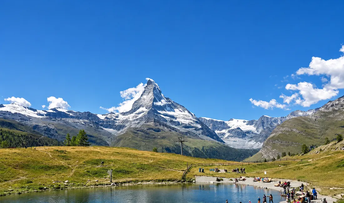
Peak finder for Garmin watches · works offline
Which mountain
is that?
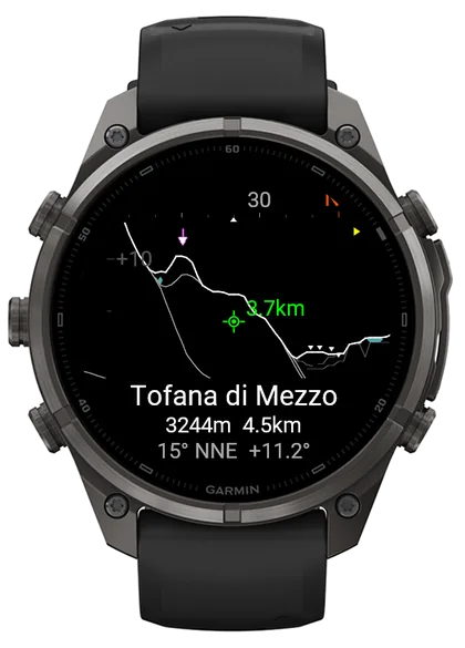
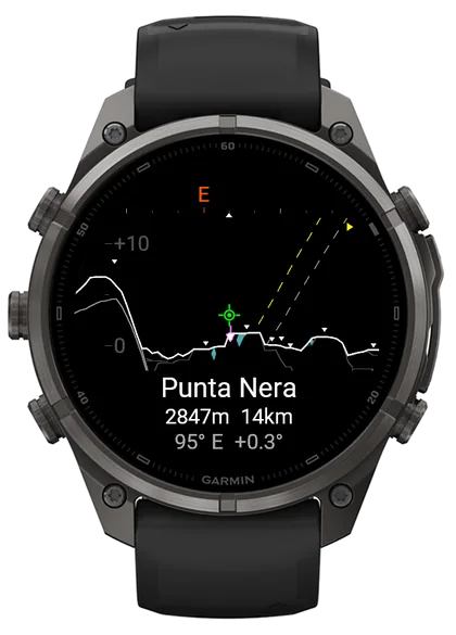
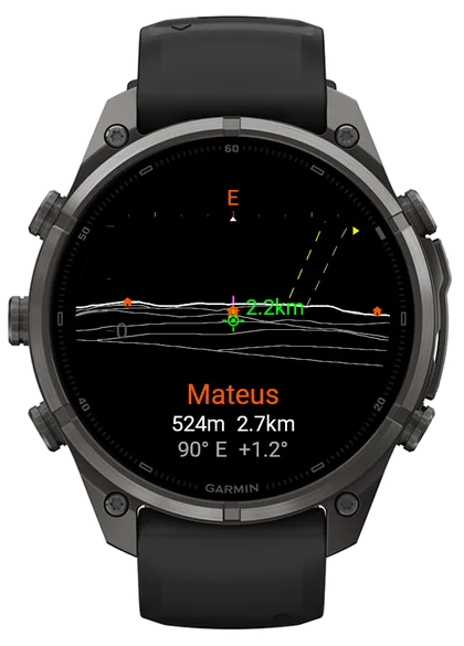
Hold your watch up like a camera. Peak Horizon draws the ridges in front of you from real terrain and names the summit under the crosshair, with its height, distance and direction. No signal? Download an area and it still works.
and handhelds
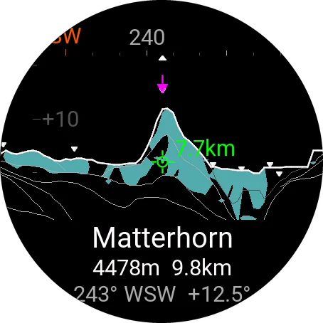
- Every peakyou can see, named
- Up to 50 kmaway, anywhere in the world
- No signalsave an area before you go
- 100+Garmin watches
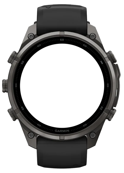
On the wrist
Out there, named.
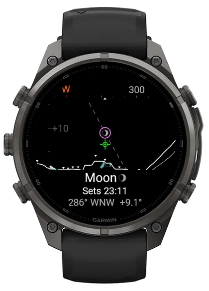
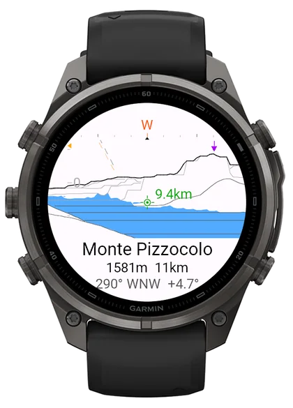
From the Dolomites to the hills of northern Portugal, every named summit in view, and the ones hidden behind nearer ridges left out.
Offline areas
No signal? Still named.
Heading somewhere remote? Save an area to the watch before you go. Out there, with no phone and no signal, it still names every peak.
Scan the code
In the settings, choose Offline areas, then Add area, and scan the QR code on the watch with your phone.
Frame the area
Up to 50 × 50 km on the map.
Leave the phone behind
Inside the area, the watch names the peaks with no phone and no signal.
Offline, lakes and glaciers aren't shown. Offline areas aren't available on the GPSMAP 67 or Montana 7 Series.
What it shows
The view, annotated.
Worked out for the exact spot you're standing on, anywhere in the world.
Ridge lines, layer by layer
Up to 50 km away, nearer ridges in front of farther ones, the skyline in bold.
The peak you point at
Its name, height, distance and direction.
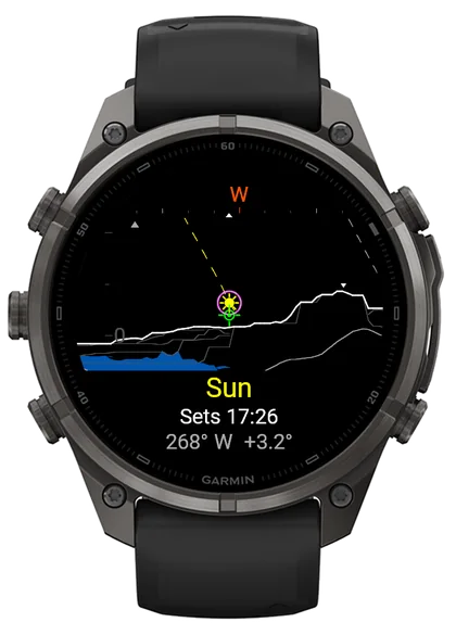
Sunset behind the real ridge
The sun and moon with their paths, and when the sun actually drops behind the mountain in front of you, not the flat horizon.
Lakes, sea and glaciers
Drawn only where you can actually see them. Towns too, if you like.
Lock a summit
Tap to lock the peak under the crosshair. Look away, and an arrow leads you back to it.
Main summits, or every top
Show every named peak, the major ones, or only the main summits of a range.
How it works
Raise your wrist. That's it.
Hold it up like a camera
The mountains are right behind the screen.
Turn around
The compass turns the view with you.
Lift your wrist
To look higher up the slope, or lower into the valley.
Read the name
The peak nearest the crosshair is named at the bottom.
Questions
Good to know.
Does it work offline, without a phone or signal?
Yes. Save an offline area of up to 50 × 50 km before you go: scan the QR code the watch shows and frame the area on your phone. Inside it, the watch still names the peaks with no phone or signal. Lakes and glaciers aren't shown offline.
Which Garmin watches does it run on?
More than 100 Garmin watches and handhelds: fēnix, epix, Forerunner, Venu, vívoactive, Instinct, Enduro, MARQ, Descent, D2, Approach, GPSMAP, Montana and eTrex. Offline areas aren't available on the GPSMAP 67 and Montana 7 Series.

Name every peak on your next hike.
Works with your phone nearby, or save an offline area and leave the phone behind. No account, no ads.
Get it on theConnect IQ Store